01AHEAD
What's coming?
Find planned works and their expected dates before they catch you by surprise. Investigate the location, proposed work and available traffic-management details.
 MAKE IT POSSIBLE. MAKE IT DEPENDABLE. MAKE IT BETTER.
DISRUVIA / DISRUPTION INTELLIGENCE
The road outside your home. The entrance to a shop. The delivery route into a town. One set of works can mean something different to each.
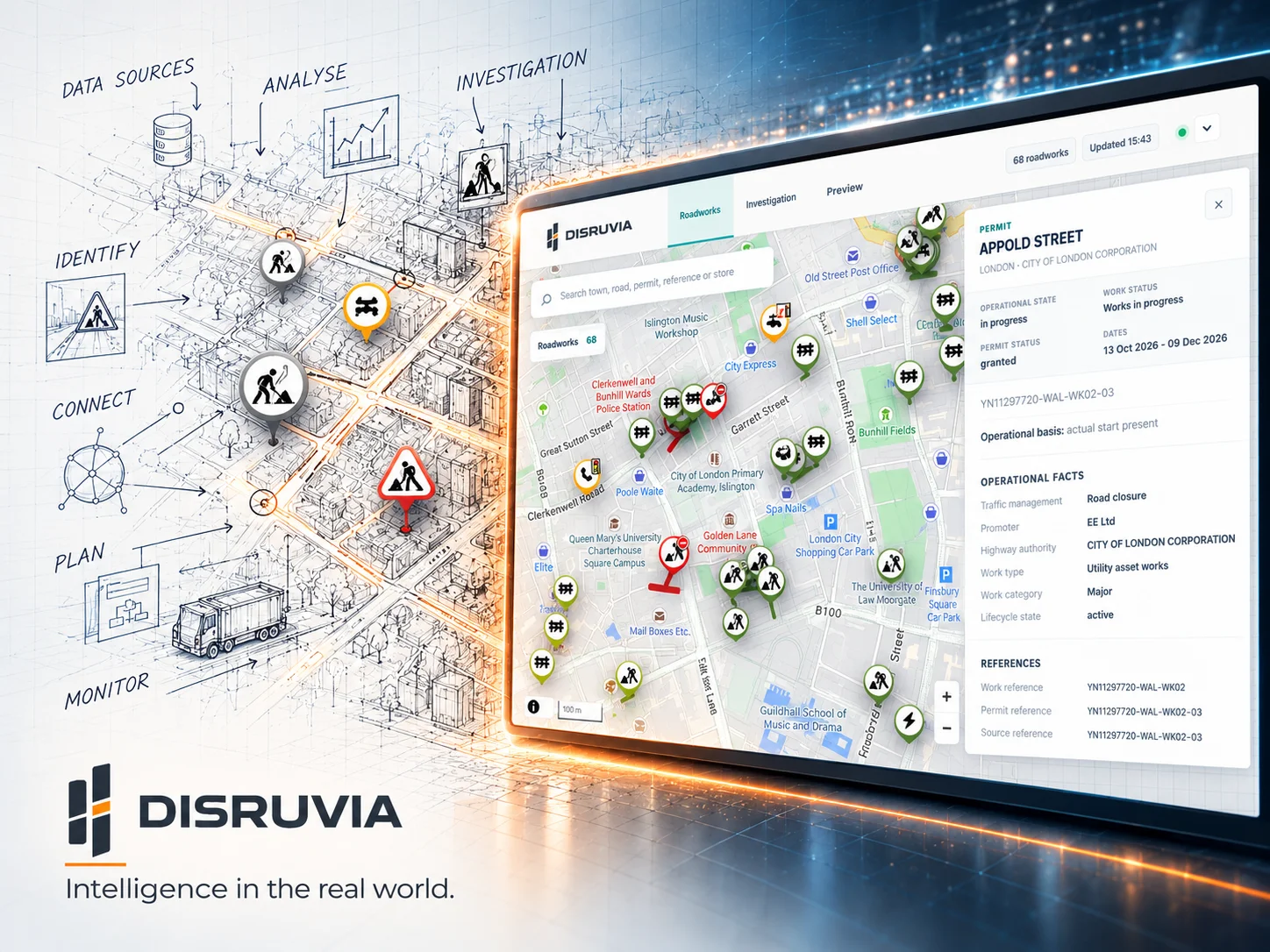
Disruvia connects planned, active and historical roadworks with the locations, journeys and businesses around them, turning national data into useful local intelligence.
Platform showcaseTHE QUESTION THAT STARTED IT
And then we asked why.
“What's happening on the roads that matter to us?”
We've all seen it. A road is dug up, traffic is diverted and the usual journey suddenly takes half an hour. A customer reaches a temporary closure and takes another route. A delivery planner has to rethink the approach to a store.
Roadworks are planned, permitted, updated and completed through a complex trail of records. We saw an opportunity to bring that information together so people could see what was coming, what was happening and what had happened around a place.
So we followed the question. Where exactly are the works? When do they start? Are they still happening? What happened on this stretch of road before? Who is carrying them out? And if access changes, which places actually feel it?
Every answer led us deeper, from raw notices to work lifecycles, timing, location and the roads connecting people to the places they need. That journey became Disruvia.
THE SCALE OF THE CHALLENGE
Disruvia brings together roadworks across England into a growing, searchable history. It follows works through planning, activity and completion, preserving their records, timelines and geographical context along the way.
21m+
More than 21 million roadworks records brought together for geographical and historical investigation as of October 2026.
15–20k
The Disruvia dataset grows by 15,000 to 20,000 roadworks records each day, continually enriching the national picture.
Past. Present. Future.
Historical work, activity now and works planned ahead, brought into the same investigation.
Disruvia national roadworks dataset, October 2026. Street Manager data coverage: England.
START WITH A PLACE
National-scale information becomes personal when you can explore it around somewhere that matters to you. Search for a place, street or postcode, navigate the map and refine by time and works detail.
Find planned works and their expected dates before they catch you by surprise. Investigate the location, proposed work and available traffic-management details.
See current works, related records and the context behind them. Filter by location, dates, type of restriction, responsible organisation and more.
Explore the retained history of a location. Trace previous works, their timing and the records that tell the story long after the cones have gone.
Inside Disruvia, search, date ranges, map layers, detailed filtering and reporting work together. Explore a street, a town or a postcode and investigate the changing conditions around a place that matters.
THE QUESTION WITHIN THE QUESTION
Two shops can sit near the same works and experience very different consequences. One has several entrances and alternative approaches. Another depends on the road being worked on. Understanding those access routes reveals the real operational picture.
That's where roadworks information becomes disruption intelligence: considering the roads, the access, the timing, the evidence and the operation that depends on them.
A disruption is an event. An impact is what that event changes for a particular place.
Works, location, timing and restrictions.
Access points, road connections and routes.
Evidence-led operational impact and forecasts.
WHAT WE ACTUALLY BUILT
We keep the original roadworks information, connect its changes over time and examine how each set of works could affect access to real places. That turns a national map into something more useful for a local decision.
Ingest Street Manager activities and permits, retain their identifiers and timelines, and keep the original evidence behind the visible works.
Disruvia connects related submissions, permits and updates to follow each piece of work through planning, activity and completion.
Use geospatial queries, map geometry, search, date windows and detailed reporting to bring the right records into focus at the right scale.
For agreed customer locations, the system examines roadworks alongside access routes and records what might change, with the evidence behind the result available to explore.
WHERE THIS LEADS
We're exploring how to build on the existing customer-location work, including better information about store entrances, delivery routes and the types of road restrictions that matter most. The next stage extends the impact analysis already in place.
THE NATIONAL CONTEXT
Official transport statistics put Disruvia's national roadworks intelligence into perspective, showing the extraordinary volume of journeys across Great Britain and the delays experienced on England's local A-roads.
Motor-vehicle traffic in 2025, Department for Transport.
Official traffic statisticsAverage delay on England's local A-roads in 2025, Department for Transport.
Official congestion statisticsWHY WE KEPT ASKING
A pin answers where. A date answers when. Bring access, history and operational evidence into the picture, and the story of each location becomes much richer.
We kept asking what else needed to be true before an answer could be trusted. How do we handle changing records? How do we distinguish a work from its many updates? How can we compare what was planned with what actually happened? What evidence tells us whether nearby works affect a particular location?
That curiosity shaped the architecture. It is also how we work at Rismor: follow the question beyond the obvious, build the evidence into the system and keep improving the answer.
FROM CURIOSITY TO DIGITAL INSIGHT
Disruvia is one example of how we turn an everyday problem into a more useful technical solution. If your organisation has a location, data or operational question that deserves a better answer, we'd like to hear it.